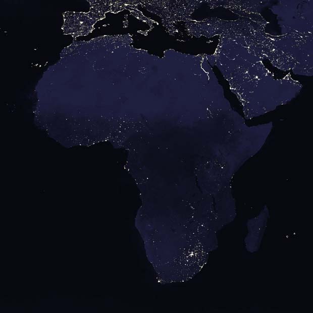
This satellite image of Africa's city lights was created with data from the Defense Meteorological Satellite
Program (DMSP), derived from nine months of observations and superimposed on a darkened land surface map.
The brightest areas are the most urbanized, but not necessarily the most populated. Cities tend to grow
along coastlines and transportation networks. Even without the underlying map, the outlines of the
continents would still be visible. The Nile River, from the Aswan Dam to the Mediterranean Sea, is a bright
thread through an otherwise dark region. Even more than 100 years after the invention of the electric light,
some regions remain thinly populated and unlit. The interior jungles of Africa are mostly dark, but lights
are beginning to appear there. Deserts in Africa are poorly lit as well (except along the coast).

 Enlargements: Enlargements:
 , ,  , ,  & &  . . |

